


09-26-2021, 03:55 AM
Landsat 9, NASA's most powerful Landsat satellite ever, is 'go' for launch on Monday.
Liftoff is set for 2:12 p.m. EDT
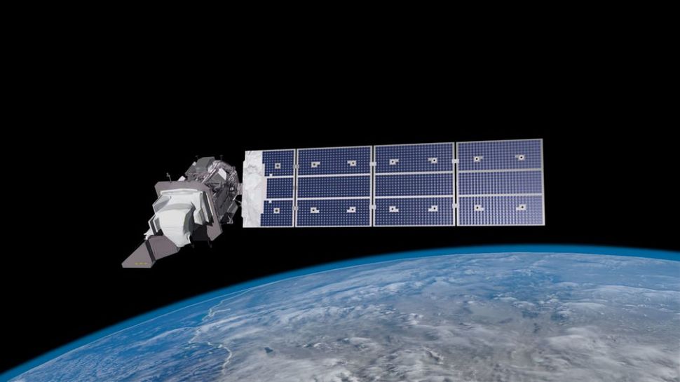
Landsat 9 will be the ninth and most advanced satellite to study Earth from above for the Landsat program, a joint effort by NASA and the U.S. Geological Survey that has provided constant imagery of our planet for nearly 50 years. It carries a high-resolution camera and a sensitive infrared sensor that together can image the Earth across 11 spectral bands and resolve objects down to about 50 feet (15 meters) wide. The satellite should orbit the Earth at altitude of about 438 miles (705 kilometers) over the planet's poles.
"For nearly 50 years, Landsat satellites have documented Earth's changing landscape," Michael Egan, NASA's Landsat program manager, said in the press conference. "Landsat 9 will improve and expand upon this unparalleled record of our home planet."
Landsat 9 will be able to image the entire Earth every 16 days. When combined with data from its predecessor Landsat 8, which launched in 2013 and is still in use today, the two satellites can cover the entire Earth every eight days, Egan said. Landsat 9 is designed to last at least 5 years in orbit and replace the aging Landsat 7, which is also in use today.
https://www.space.com/nasa-landsat-9-ear...for-launch
Liftoff is set for 2:12 p.m. EDT
Landsat 9 will be the ninth and most advanced satellite to study Earth from above for the Landsat program, a joint effort by NASA and the U.S. Geological Survey that has provided constant imagery of our planet for nearly 50 years. It carries a high-resolution camera and a sensitive infrared sensor that together can image the Earth across 11 spectral bands and resolve objects down to about 50 feet (15 meters) wide. The satellite should orbit the Earth at altitude of about 438 miles (705 kilometers) over the planet's poles.
"For nearly 50 years, Landsat satellites have documented Earth's changing landscape," Michael Egan, NASA's Landsat program manager, said in the press conference. "Landsat 9 will improve and expand upon this unparalleled record of our home planet."
Landsat 9 will be able to image the entire Earth every 16 days. When combined with data from its predecessor Landsat 8, which launched in 2013 and is still in use today, the two satellites can cover the entire Earth every eight days, Egan said. Landsat 9 is designed to last at least 5 years in orbit and replace the aging Landsat 7, which is also in use today.
https://www.space.com/nasa-landsat-9-ear...for-launch